From Earth to Space: Iran’s Journey in Remote Sensing and Satellite Technology
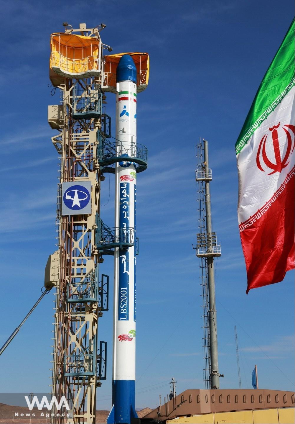
WANA (Nov 03) – Over the past two decades, Iran has made significant strides in remote sensing by developing and launching multiple satellites, including “Mesbah,” “Sina,” “Fajr,” “Payam,” “Khayyam,” “Navid,” “Zafar,” and “Tolou.”
These satellites have become crucial tools for space-based observation and data collection, playing a vital role in natural resource management, environmental monitoring, crisis management, and even security purposes. They also enable access to geographic information in remote and hard-to-reach areas.
Remote Sensing: A Gateway to Space Data
Remote sensing is a process that gathers information from the Earth’s surface without direct contact, using electromagnetic waves to collect data across different spectra—from visible light to infrared. This allows for precise analysis of environmental conditions and natural resources.
The technology generally includes both active and passive sensors. Active sensors, such as radars, emit waves toward the Earth’s surface and receive reflections, enabling imaging even in adverse weather conditions. Passive sensors, on the other hand, capture reflected sunlight or other natural sources and are mainly used for imaging in the visible and thermal infrared spectra.

Iran Prepares to Launch Two Domestically Produced Satellites from Russia
WANA (Nov 02) – Iran is set to launch two domestically produced satellites, “Kowsar” and “Hodhod,” developed by the country’s private sector, into orbit from Russia’s Vostochny Cosmodrome on November 5. These satellites, marking Iran’s first private-sector satellite projects, represent a milestone in the country’s growing space industry. The Kowsar and Hodhod satellites will […]
Applications of Remote Sensing
Remote sensing technology has a broad range of applications across various fields, particularly in the following areas:
Natural Resource and Agricultural Management: Satellite imagery helps farmers improve productivity and manage water and fertilizer resources effectively.
Climate Change Monitoring: Data enables precise tracking of climate changes and their impacts.
Urban and Water Resource Management: This technology aids in analyzing land use in urban areas and assessing water resources.
Crisis and Disaster Management: Remote sensing provides vital data for crisis management and damage assessment during natural disasters.
Ecosystem Protection: Space data is essential for identifying environmental threats and supporting biodiversity.
Military and Security Uses: Satellite imagery is utilized for strategic surveillance.
Archaeology and Geology: Technologies like LiDAR aid in discovering archaeological sites and identifying mineral resources.
First images of Iran’s private sector satellites Kowsar (for precision agriculture) and Hodhod (for IoT) are out! These two will launch on Nov 5 via Russia’s Soyuz. A big step for Iran’s space industry. #Space #Iran #Satellite #Russian pic.twitter.com/vnyzVq0KOv
— WANA News Agency (@WANAIran) November 2, 2024
Iran’s Path of Development and Achievements in Remote Sensing
In the early 2000s, Iran entered the field of remote sensing technology by building small, experimental satellites like “Mesbah” and “Sina.” Despite their limitations, these satellites provided an opportunity to improve Iran’s capabilities in satellite control and communication with ground stations.
Gradually, this expertise led to the development of more operational satellites. In 2011, Iran launched the “Navid” satellite, marking its first experience in Earth imaging and utilizing remote sensing data for environmental and natural resource management.
Satellites such as “Fajr” and “Payam” were also launched for Earth observation and environmental mapping. In 2022, the launch of the high-resolution “Khayyam” satellite significantly enhanced Iran’s imaging accuracy. The data from Khayyam is used in water resource management, agriculture, forest monitoring, and environmental change tracking.

Iran has established infrastructure like ground stations and specialized laboratories to strengthen this sector and partnered with universities to train skilled professionals.
Challenges and Opportunities
Although the development of remote sensing satellites in Iran has faced challenges such as sanctions and international restrictions, these obstacles have spurred the growth of domestic technologies and bolstered support for knowledge-based companies. Iran is also planning to launch more advanced remote sensing satellites, like “Pars 1” and “Pars 2,” aiming for greater accuracy and efficiency in this technology.
Ultimately, with continued investment and international collaboration, Iran has the potential to become a significant player in the field of remote sensing both regionally and globally. By advancing this technology, Iran can elevate its scientific and technological standing on the international stage.


